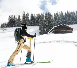
Ski touring in Haute-Savoie
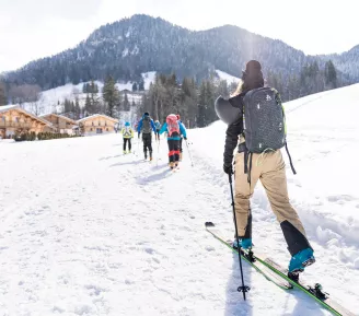
Signposted itinerary La Drè Yo (La Droit en haut) "Su la Pyâ des Fan-nes" ("Sur la Trace des Martres")
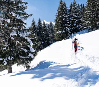
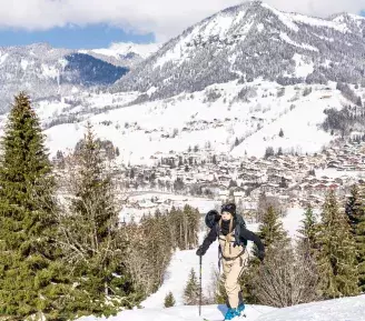
Discover our new signposted ski touring itinerary! The itinerary starts opposite the ESF chalet on the snow front and takes you just below the high-altitude restaurant "Le Serasson".
Information:
+ Vertical rise: approx. 630m
+ Descent: via the slopes
+ Ascent time: between 2h and 3h
+ Safety equipment: avalanche transceiver + shovel + probe
+ Topo: ski touring itinerary
Topo Ski de randonnée au Pays du Mont-Blanc
29 itineraries facing Mont-Blanc 15,000 meters of marked vertical drop
New: Guide to marked ski touring itineraries on the downhill slopes of the Pays du Mont-Blanc ski area.
Before you set off!
- The use of these itineraries is the sole responsibility of the user. These routes are not ski runs, and are neither controlled nor secured.
- Find out about the weather and snow conditions, the avalanche risk assessment bulletin (BERA) and the opening hours of the ski area for the descent. Descents on marked runs must take place during ski area opening hours. When the ski area is closed, traffic on the slopes is prohibited in accordance with municipal by-laws on slope safety.
- Calculate your time carefully. Climbing times are given as an indication only. They are calculated with an average of 300m of positive ascent per hour. It is up to each skier to adapt these times to his or her own needs.
- Skiers must not set off if the itinerary is closed or outside ski area opening hours due to winch grooming. Closures may be necessary for avalanche control (PIDA).
